- Welcome to Worldwide Electronics Store
- Home
-
Drones Accessories
Refurbished
Gimbals & Cameras
-
Phones
Small Appliances-Floorcare
Laundry
TVs-Home Entertainment
Heating-Cooling & Air Treatment
Refrigeration
-
Gaming
Accessories & Printing
- Contact
- Home
- DJI Drones
- DJI Mavic 3 Multispectral Drone DJI Mavic 3 Multispectral Drone


DJI Mavic 3 Multispectral Drone
- Description
- Shipping & Returns
- Reviews
Key features
- 43 minute flight time
- RGB Camera with 20MP 4/3CMOS & mechanical shutter
- Compact and portable for easy storage
- Up to 200 hectares per flight

DJI Mavic 3 Multispectral
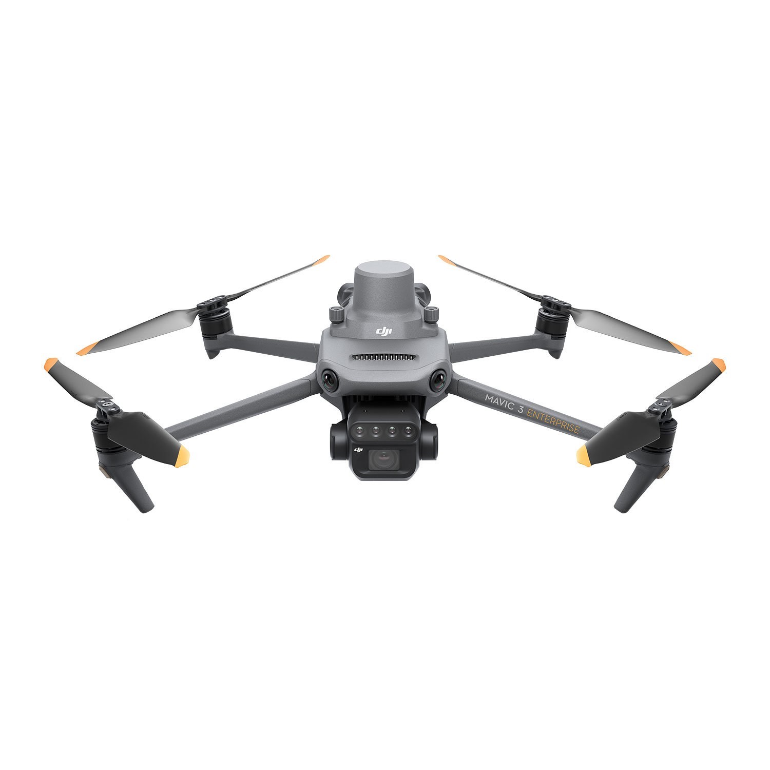
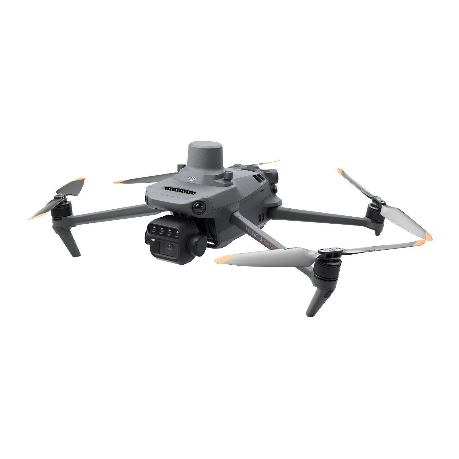
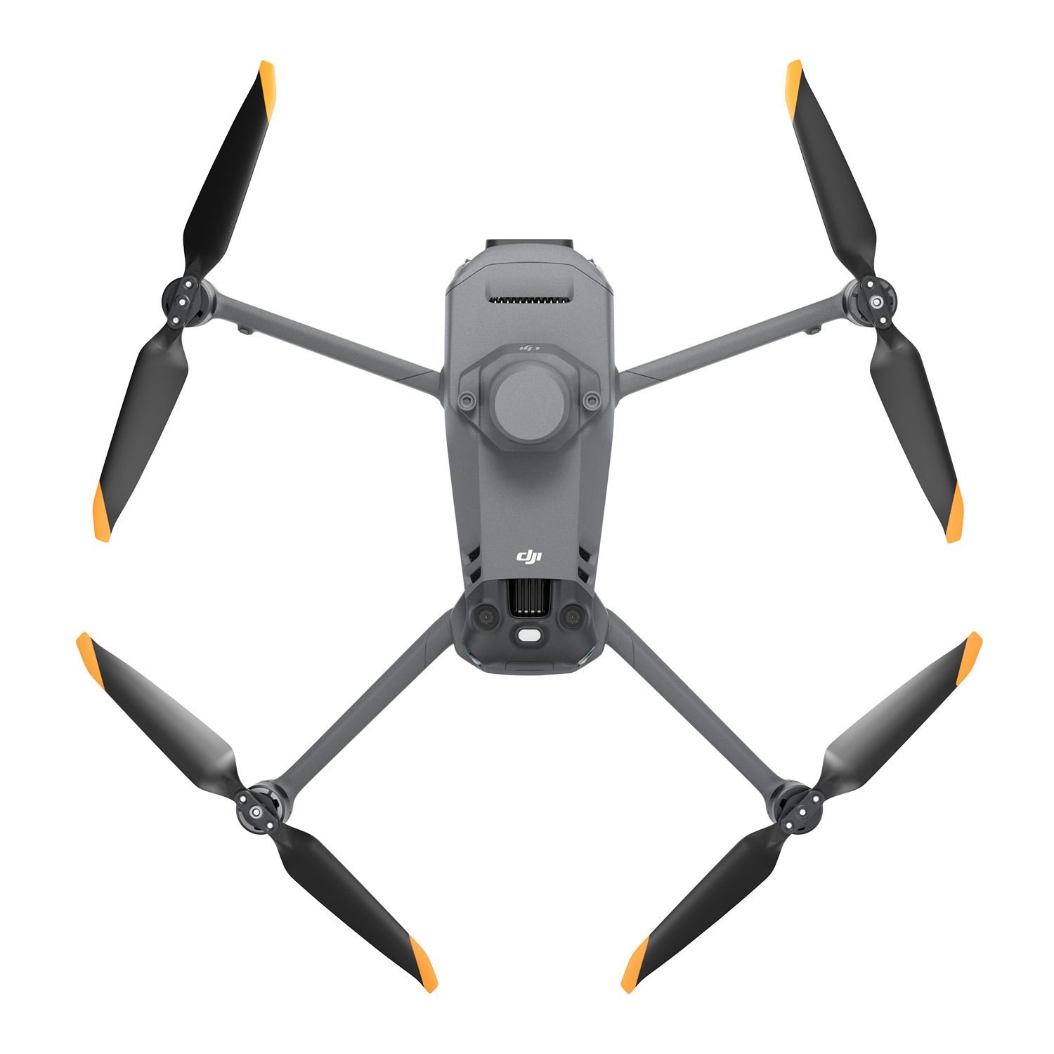
The DJI Mavic 3 Multispectral is designed for precision agriculture and environmental monitoring. It is equipped with a multispectral imaging system that quickly captures crop growth information to achieve more effective crop production. The Mavic 3M includes an RTK module that achieves centimetre-level positioning.
.png)
Multispectral Cameras
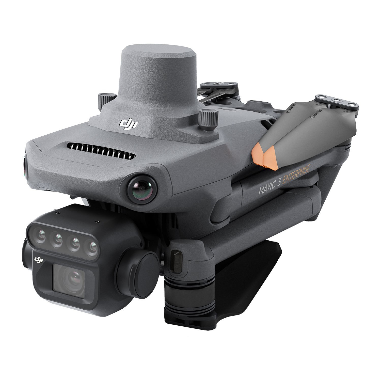
The Mavic 3M has four 5MP multispectral cameras. Infact, the Mavic 3M is the world’s smallest 4-band multispectral drone camera. Its built-in camera array combines Green, Red, Red Edge, and Near Infrared sensors.

Smart Terrain Follow
The Mavic 3M offers Terrain Follow, helping you maintain an even altitude as you fly a survey mission across varying terrain. By smoothly adjusting according to the terrain, you can secure the integrity of your data while it’s gathered, without having to account for any differences in post-processing.
For situations when you weren't able to import a DSM or local elevation data pre-flight, the Mavic 3M's collision avoidance sensors can take over by detecting the ground below and automatically adjusting flight height accordingly.

Intelligent Field Scouting
The Mavic 3M can carry out automatic field scouting. The field scout images can be uploaded to the DJI SmartFarm Platform in real time through a 4G network. It can find abnormalities, such as emergence deficiencies, weed pressure, and crop lodging in a timely manner.
It can also conduct intelligent analyses, such as cotton seedling identification and rice production testing, using AI identification for real-time sharing of crop growth information, guidance of agronomic activities, and easy management of 70 hectares of farmland by one person.


